Trail Guide
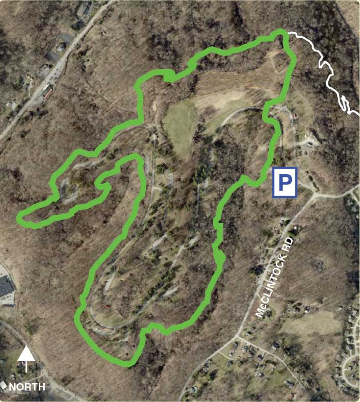
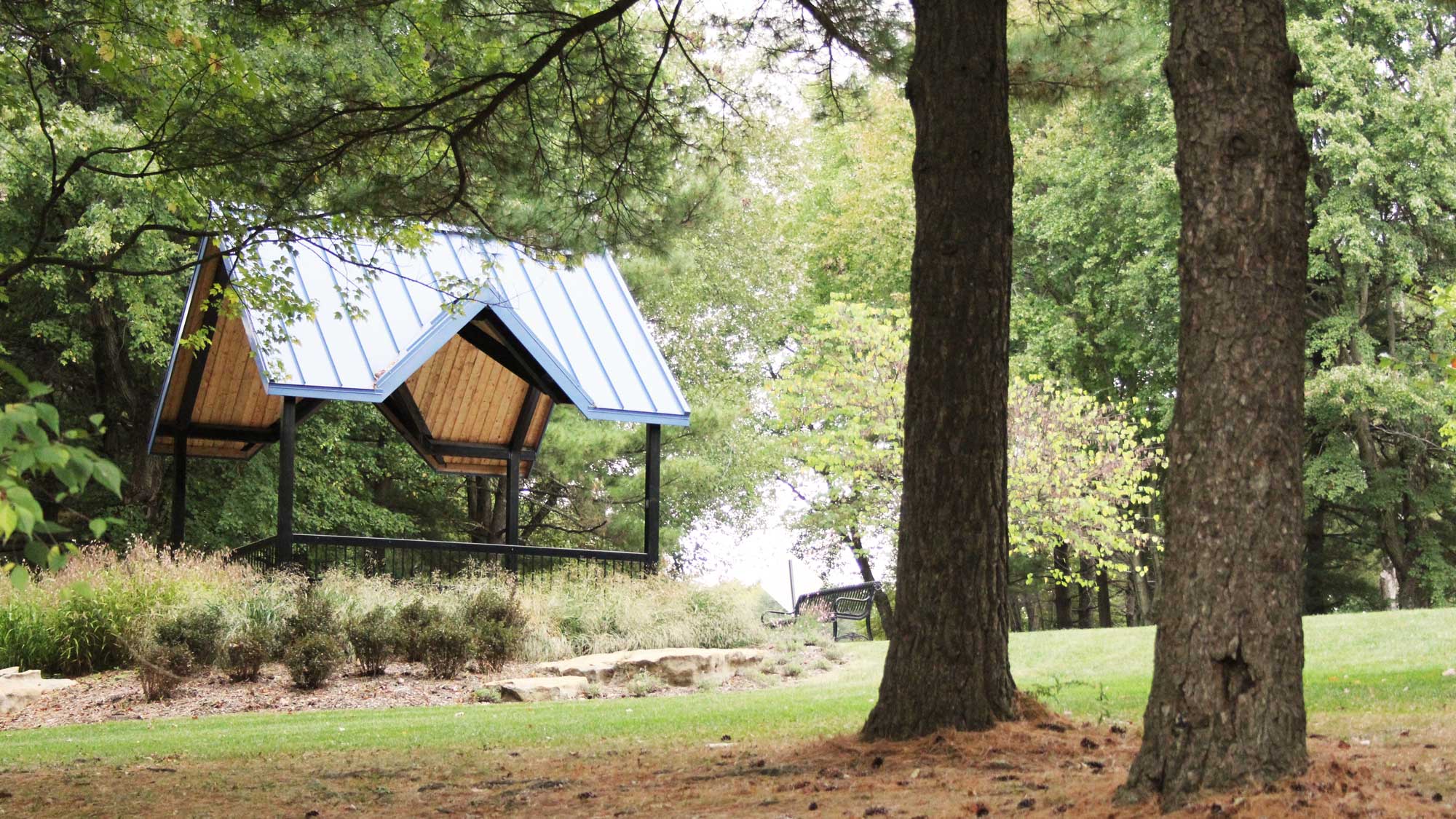
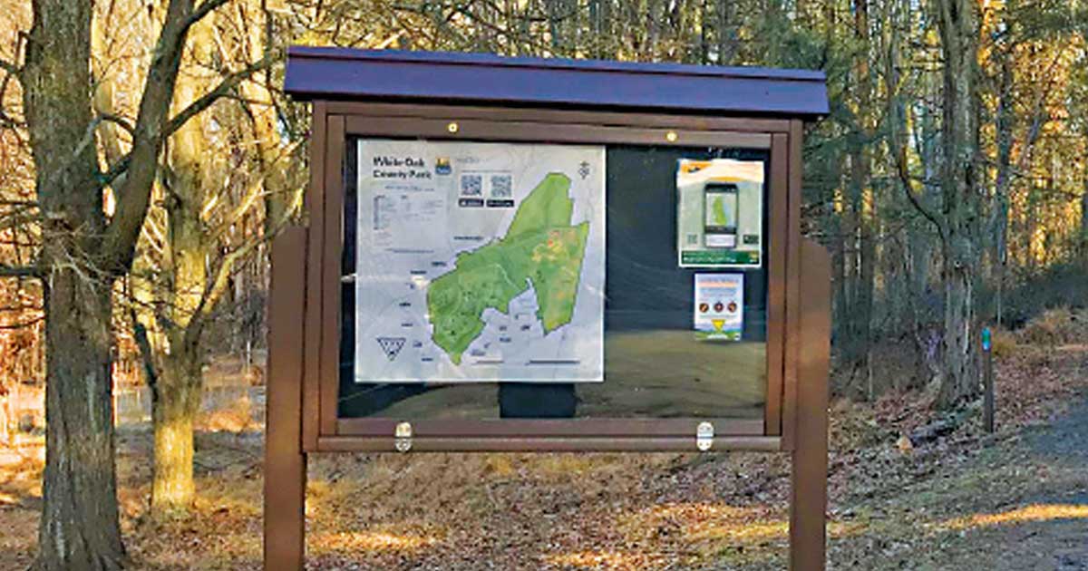
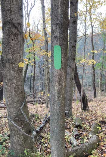
This moderately difficult trail is about 2.5 miles long and travels nearly the entire perimeter of the park’s main section. Start at the Wedding Garden parking lot. To access the trail, head to the trailhead kiosk at the far end of the parking lot past the turn-around. Follow the green blazes along the woodline and at the bottom of the field you will see a post with blazes directing you into the forest. Follow the trail through the woods and shortly you will cross a rocky creek. Proceed sharply uphill for a short section. The trail meanders through forested areas with eye catching valley views on the left. About halfway through your journey, the Green Trail wraps around the farthest shelter in the park, Redwood Shelter. The trail hangs on the edge of the park’s steep hillsides and offers views deep into the valley. Once you are nearing the end of the loop, the Green Trail make a sharp right turn uphill and the White Connector Trail will continue along the edge of the valley straight ahead (White will take you to McClintock Road and eventually the other side of the park where you could connect to the Park Office). The Green Trail will quickly come out at the bottom of a large meadow area with mowed trails. Turn left and follow the edge of the meadow eventually cresting the hill and dropping down the other side where you will cross the park’s main road. As you cross the road the trail will turn left and lead back to the Wedding Garden parking lot at the trailhead kiosk.
Loving this trail?
Download the Allegheny County Parks Trails app from your app store to find this trail on your device. Learn more.
- Discover trails within each Allegheny County park and easily choose which one to traverse by viewing its length, difficulty, and elevation profile.
- Track your location using this GPS-enabled app, and switch among imagery, topographic or terrain basemaps to give you a better sense of your surroundings.
- Get current weather conditions, alerts, and upcoming forecasts from the National Weather Service (NWS).
