Trail Guide
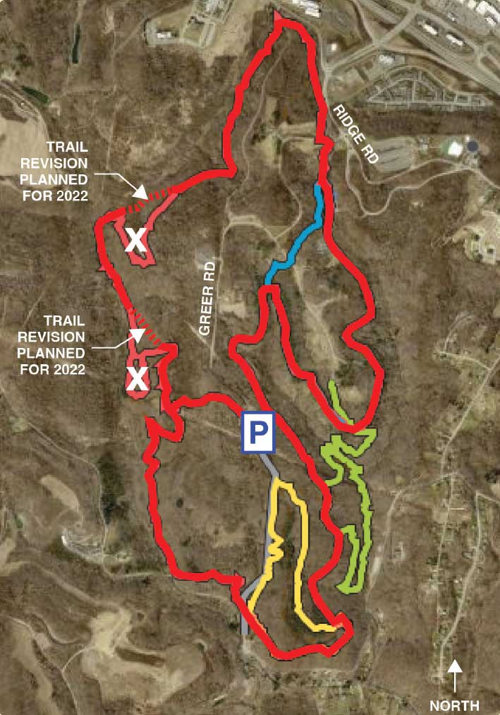
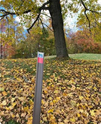
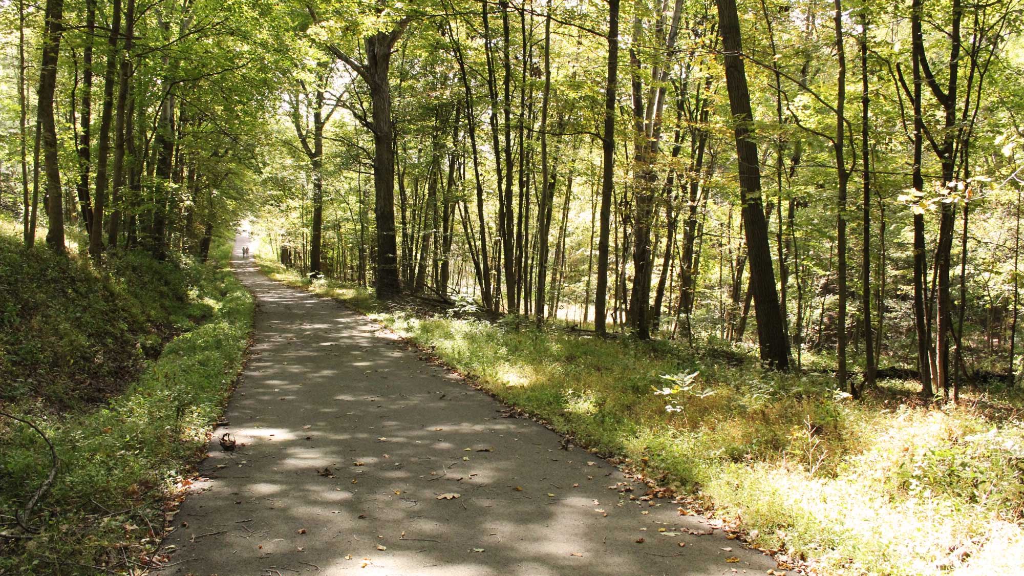
Something for the more adventurous. Bring a lunch and enjoy an all-day trip. Park at the Panhandle Connector lot to access this 7.75-mile, moderate-to-difficult adventure. The trailhead marker is underneath the large tree at the corner of the parking lot. Take the trail into the woods and follow it to a clearing in the utility corridor where the Red Trail splits; follow the Red Trail to the right down the hill in the utility corridor and back into the forest. At times, the trail parallels a small stream that cascades over rocks, leading to a small pond. Go right along the edge of the pond and continue the hike along the beautiful Pinkertons Run valley, filled with a variety of wildflowers in the spring. The trail eventually winds its way back up to a utility corridor and the climb leads to an open meadow. Follow the Red Trail to the left to Greer Road. Cross the road and follow the trail to the Gilbert Love Shelter parking lot. The trail crosses the park entrance road and into the Algonquin Shelter parking lot before dropping back into the woods. The Red Trail meets the Blue Trail and together they pass the dek hockey rink and tennis courts before returning to the woods. The Red Trail then crosses the Waterfall Trail/Green Trail. (At this point you can follow the Waterfall Trail/Green Trail through the valley and connect back to the Red Trail for a scenic detour.) As you continue along the Red Trail you will pass through a beautiful section of White Pine forest and see some upland bogs off the trail on the left.
The Red Trail separates from Blue Trail at Tomahawk Shelter and continues along the valley where it joins the Green Trail for a short distance. The Red Trail then joins with the Yellow Trail before breaking away the final time and crossing the Panhandle Connector Trail. (Cut the hike short by taking the Panhandle Connector uphill back to the parking lot.) The Red Trail drops down into a small valley and then back up the hill before entering the lower Pinkertons Run valley. Pass a picturesque cascade on Pinkertons Run and then shortly you will find yourself at the first utility corridor. To finish your hike, head up the hill to the right and return to the parking lot on the trail where you started.
Loving this trail?
Download the Allegheny County Parks Trails app from your app store to find this trail on your device. Learn more.
- Discover trails within each Allegheny County park and easily choose which one to traverse by viewing its length, difficulty, and elevation profile.
- Track your location using this GPS-enabled app, and switch among imagery, topographic or terrain basemaps to give you a better sense of your surroundings.
- Get current weather conditions, alerts, and upcoming forecasts from the National Weather Service (NWS).
