Trail Guide
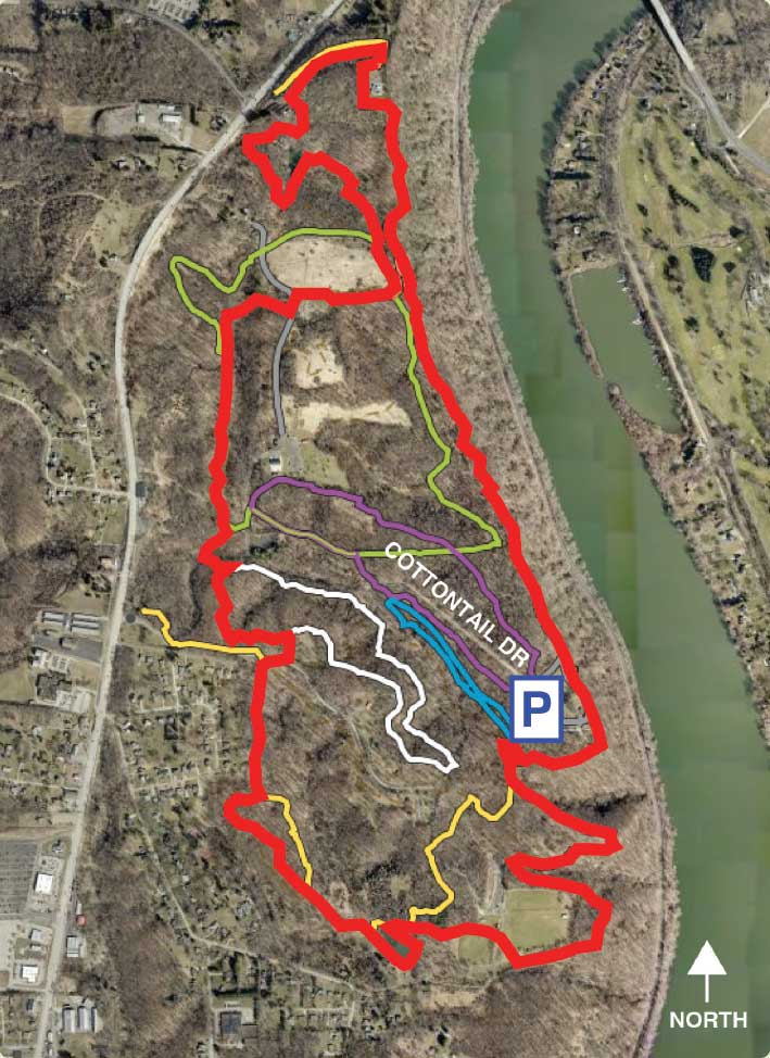
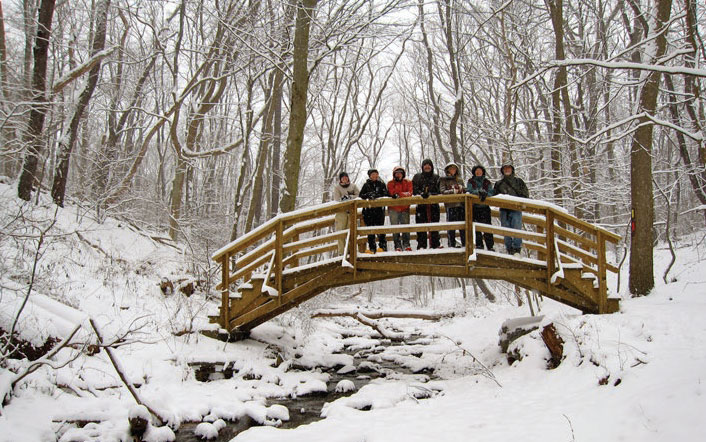
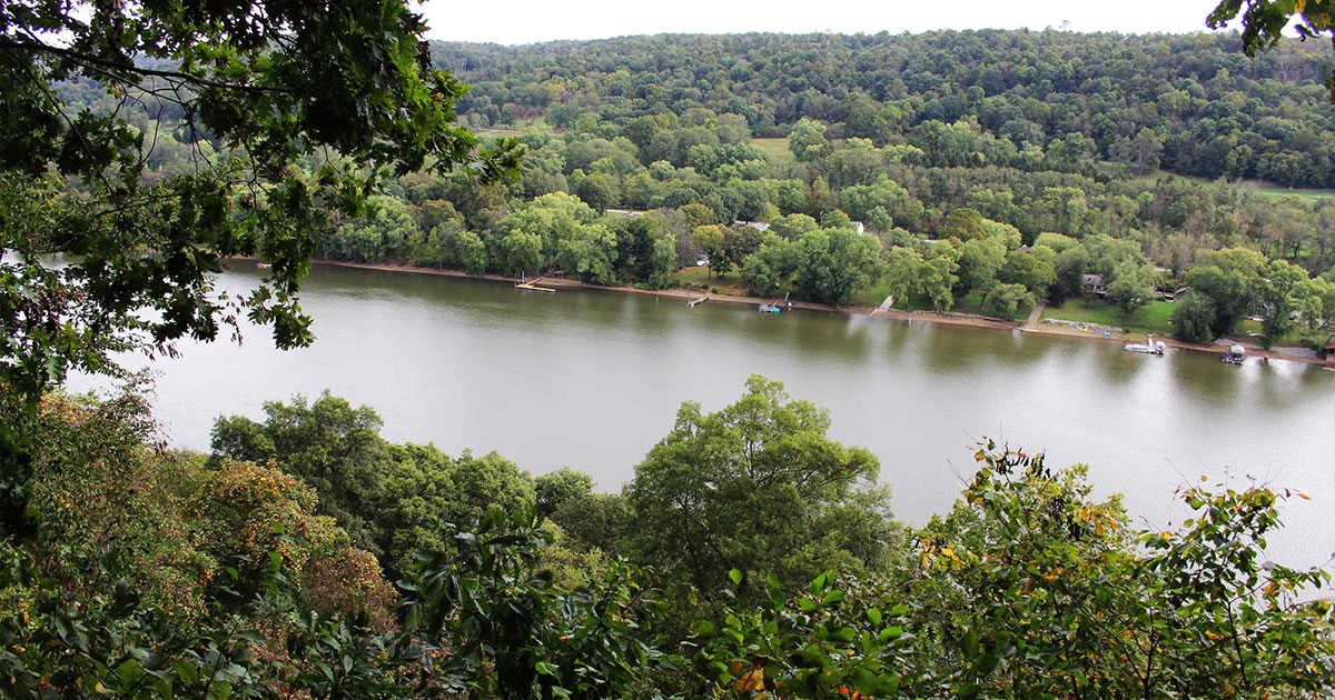
This five-mile loop circles the entire park, starting and ending at the Overlook parking lot. It’s a moderate-to-difficult hike that offers stunning views of the Allegheny River. Restrooms are located at the trailhead and benches are scattered throughout. Find red blazes on the trees lining the fence at the end of the parking lot, marking the start of the loop. Turn right and cross a bridge at the top of a deep boulder-filled ravine that is lush with wildflowers in the spring. The trail will follow the edge of this ravine where you can enjoy views of the Allegheny River. The trail then leads toward the South Pond, where a bird blind sits at the end of a boardwalk. The bird blind lets you view and photograph birds without scaring them.
Look for a variety of birds and amphibians as the walkway passes beside sensitive plant species. The trail then climbs up out of the grass fields that surround the pond and through a mixed woodland before crossing Woodchuck Drive and passing Baneberry Shelter. The trail next winds through a mature upland forest before descending to cross Cottontail Drive where it combines with the Green Trail for a half-mile. As you continue along the Red Trail, you will pass several little streams and climb out of the bottom land and follow along the edge of an old farm field; take your time as this is a great place to look for birds. The trail heads north passing an old farm pond, eventually joining with the Rachel Carson Trail. It then passes a cell tower before going deeper into the forest to its most spectacular section: the Allegheny River. The last section of the Red Trail positions you along the edge of a bluff for amazing views of the Allegheny River before returning to the parking lot.
Loving this trail?
Download the Allegheny County Parks Trails app from your app store to find this trail on your device. Learn more.
- Discover trails within each Allegheny County park and easily choose which one to traverse by viewing its length, difficulty, and elevation profile.
- Track your location using this GPS-enabled app, and switch among imagery, topographic or terrain basemaps to give you a better sense of your surroundings.
- Get current weather conditions, alerts, and upcoming forecasts from the National Weather Service (NWS).


