Trail Guide
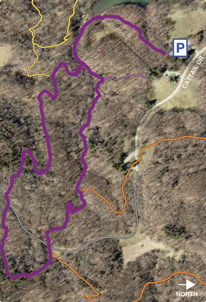
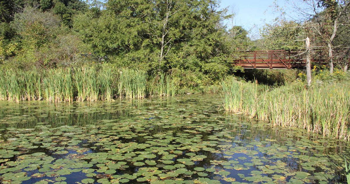
Access this two-mile moderately difficult trail by parking at the back of the Anglers Shelter parking lot off Cattail Drive. Enjoy a view of the quiet Upper Lake with mature oak trees and beds of moss lining both sides of the trail. This will lead you to the edge of the Upper Lake and to a section of elevated path called a turnpike. The turnpike was installed to allow dry passage through a muddy section of trail along the edge of a wetland. Follow the creek upstream, turning right to cross a small footbridge and pass through the Disc Golf Course. Take in the Christmas Ferns that are abundant in this area. Cross a small footbridge and walk through a shallow stream to continue deeper into the forest. The trail will cross an access road, pass through an area full of mature pine trees and then bring you across the road again. Here the Purple and Orange Trails share a path that descends into the valley. At the foot bridge, turn left and follow the turnpike back to your starting point.
Loving this trail?
Download the Allegheny County Parks Trails app from your app store to find this trail on your device. Learn more.
- Discover trails within each Allegheny County park and easily choose which one to traverse by viewing its length, difficulty, and elevation profile.
- Track your location using this GPS-enabled app, and switch among imagery, topographic or terrain basemaps to give you a better sense of your surroundings.
- Get current weather conditions, alerts, and upcoming forecasts from the National Weather Service (NWS).


